
University College Dublin

MSc GIS and Remote Sensing
See course details like fees, subject rankings, entry requirements and more for MSc GIS and Remote Sensing offered by University College Dublin at Belfield
Platform curated- Duration
- 1 years
- Qualification
- Masters Degree
- Campus
- Belfield
- Belfield
- Course code
- Not provided
Data JSON
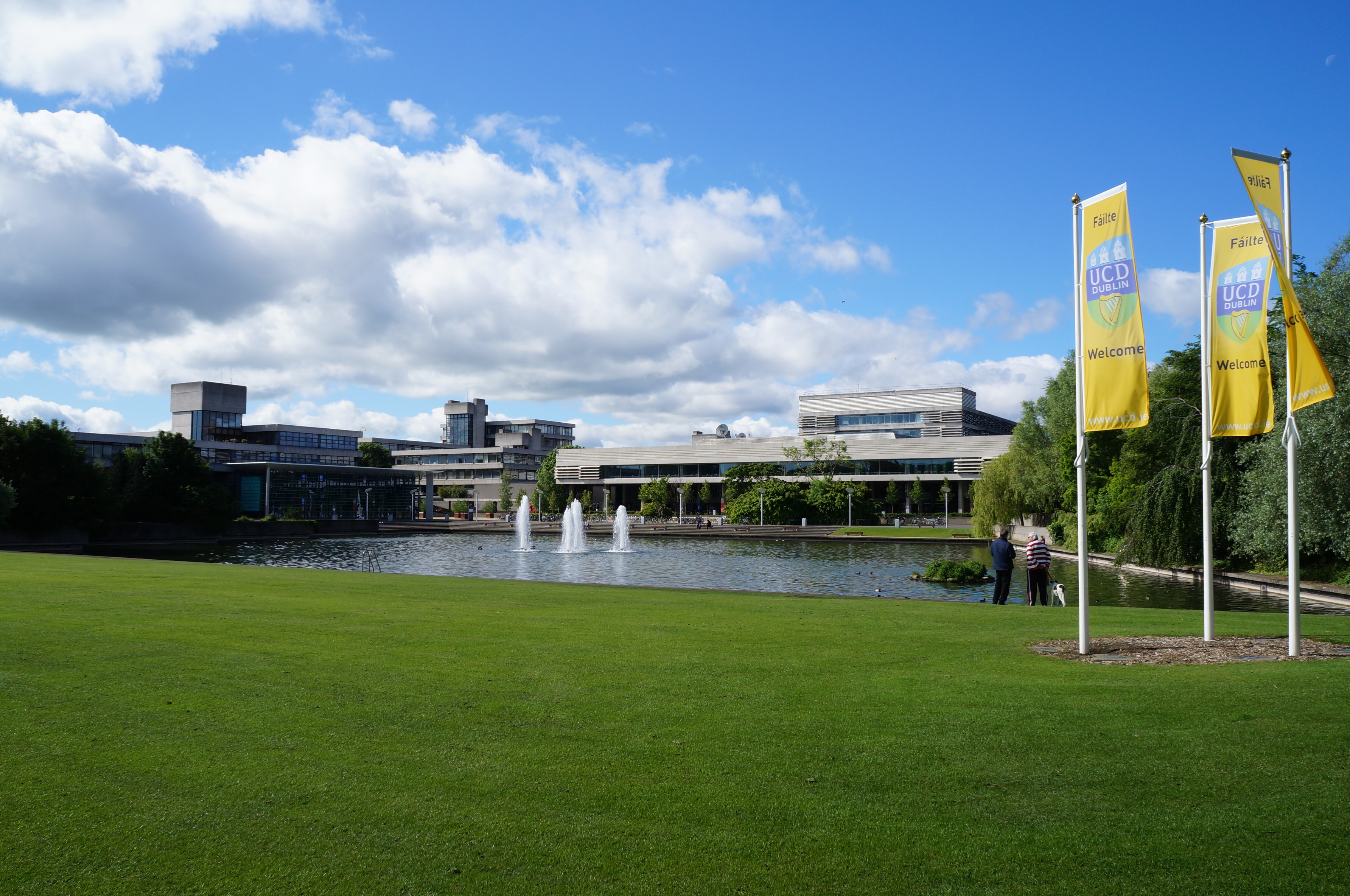
Campus images supplied directly by the institution.
Course overview
See course details like fees, subject rankings, entry requirements and more for MSc GIS and Remote Sensing offered by University College Dublin at Belfield
Intakes and tuition
Tuition is recorded per intake with the institution's own basis. Superseded rows are kept so fee changes stay visible.
| Intake | Campus | Starts | Applications close | Tuition | For |
|---|---|---|---|---|---|
| 2027 · Trimester 3 | Belfield | — | — | EUR 22,600per year | International students |
Where it is taught
Belfield
PrimaryBelfield